I’ve lived in Ontario for nearly 30 years. I’ve woken up every morning with a view of Lake Ontario for 18 years. But somehow I’ve neglected to taste the word Ontario until now.
Ontario is a musical word, suited if not for an oratorio then at least for an aria on the radio – or for an airy jingle, as the provincial government showed every Canadian starting in 1967: their promotional song branded all our brains with “A place to stand, a place to grow, Ontari-ari-ario” (music by Dolores Claman, more famous for the Hockey Night in Canada theme): https://www.youtube.com/watch?v=zPgZFzO0XZ0
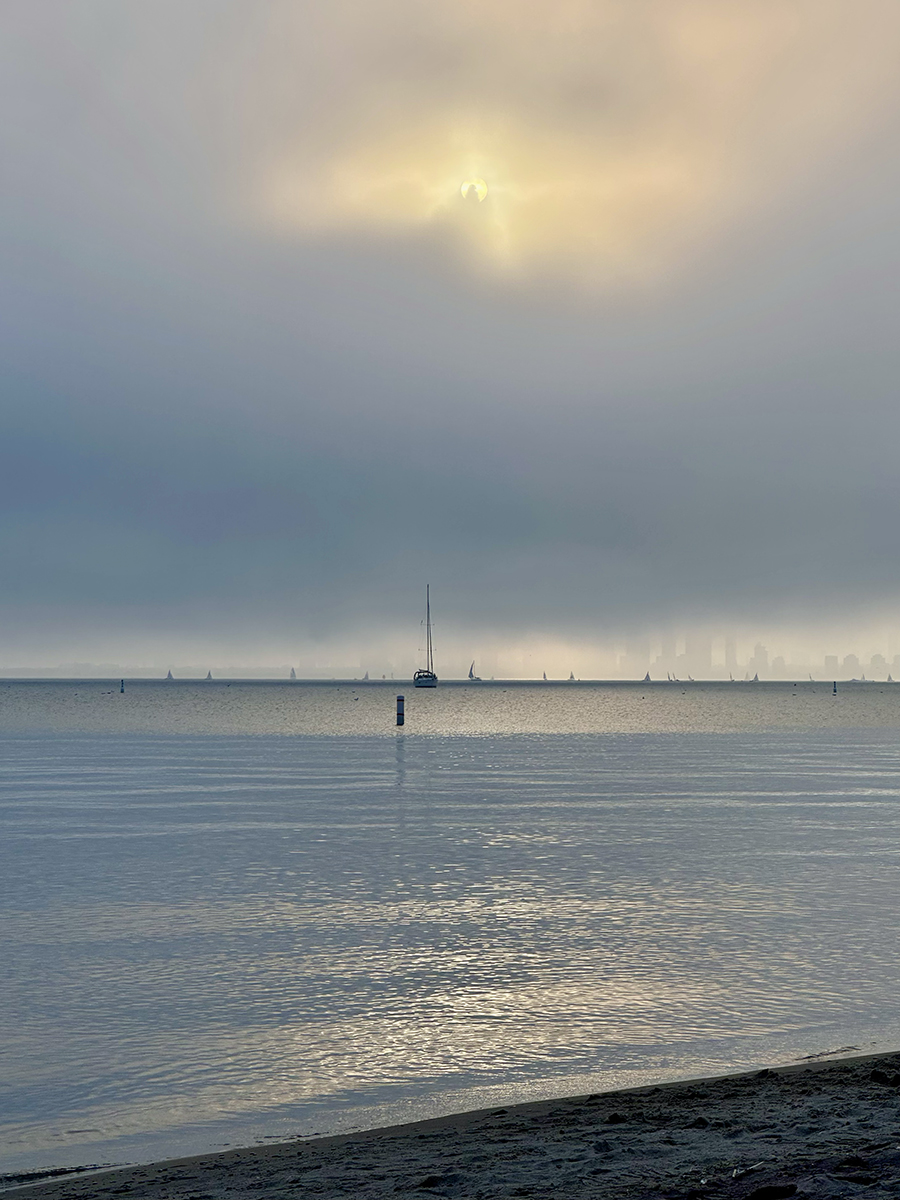
It’s a pretty efficient word, too: four syllables from seven letters, with “airy” in its heart, and using the same vowel at the start and the end – traits that it shares with, among others, America. But I’m not in America (I’m in North America, but not in the country commonly called America), and though my view is elevated, I can’t quite see America across Lake Ontario, because the lake is, after all, a great big one.
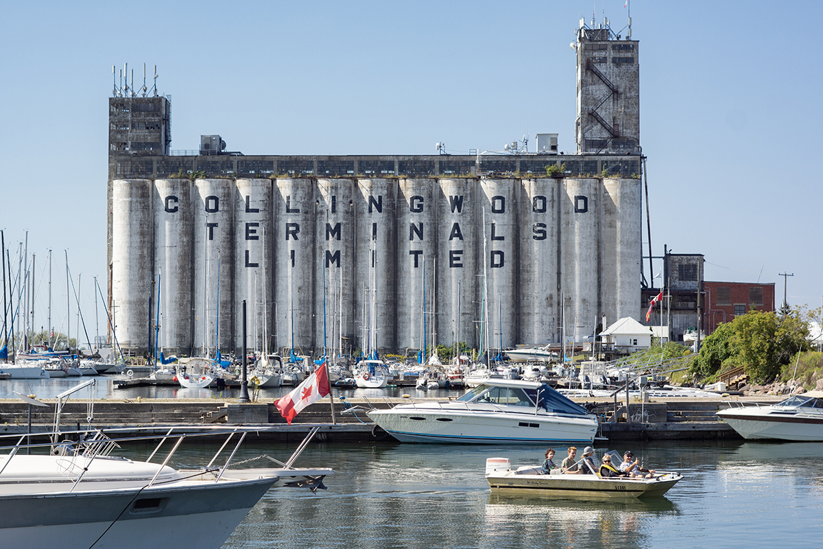
Ontario names several places. In Canada, it’s two big ones: the province of Ontario, the most populous and second largest of Canada’s provinces (two territories are larger, but territories are not provinces), and Lake Ontario, the smallest of the great lakes by area (but second smallest by volume). It’s also smaller places, such as Ontario Street, which is on the east side of downtown Toronto (and probably other places in other towns too), and Hurontario Street, which was laid to run from Lake Huron (Georgian Bay) in Collingwood to Lake Ontario in Mississauga (more than 130 km, but it has some gaps).
There are also eight towns and cities in the USA called Ontario (including, notably, a suburb of Los Angeles, where you will find Ontario Airport, which I have to think has confused some people), and they all seem to be named after the lake or the province. But just to get an Ont-ological question out of the way right away: The province of Ontario is named after the lake, and not vice versa (before Canada became an independent country in 1867, Ontario was called Upper Canada, a name you’ll see reflected in various places and things).
The lake has been called Ontario for a long, long time. And for much of that time, it wasn’t Lake Ontario, it was just Ontario – or another similar word that’s the source of Ontario. This could possibly be skanadario, an Iroquioian word meaning ‘beautiful water’ or ‘sparkling water’, but it’s probably Ontarí:io, a Huron-Wendat word meaning – wait for it – ‘great lake’.
Yes, that’s right. The smallest of the great lakes is the one named Great Lake. But also, that means Lake Ontario is a redundancy, just like Sahara Desert (in Arabic, ṣaḥārā means ‘deserts’). But it’s been called Lake Ontario since before 1794, when it was named in the Treaty of Canandaigua, signed by President George Washington (and still in effect). So we can live with the name, and more easily than, say, salsa sauce or ATM machine.
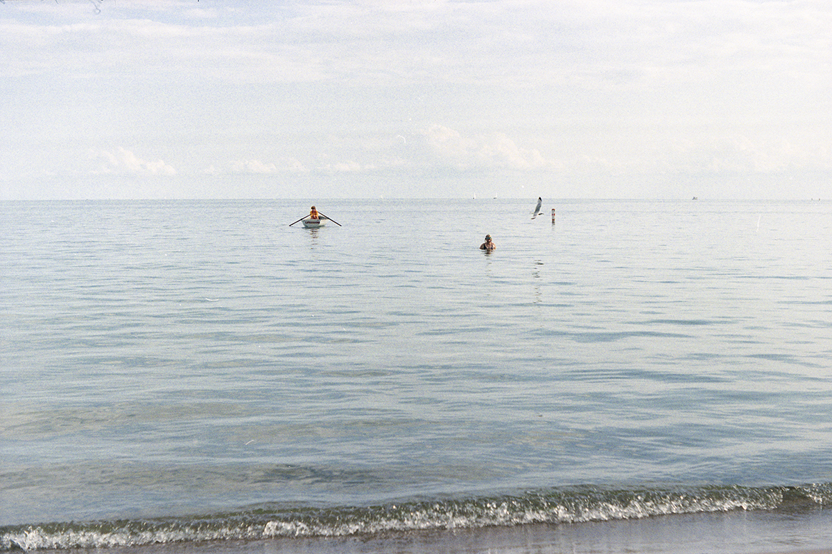
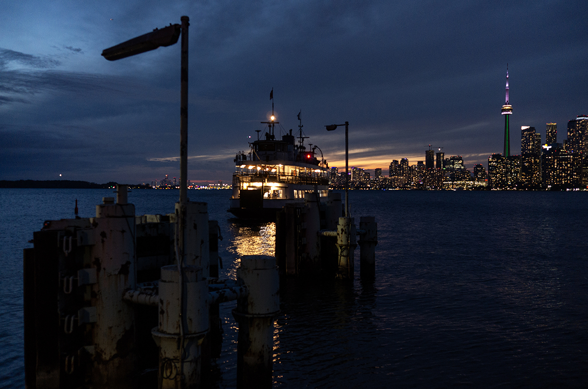
Anyway, it’s a pretty lake, and it has some very nice beaches too – including several on Toronto Island, where my wife and I go at least once a week all summer long. The water isn’t tropically warm, true, but on the other hand it’s not salty either. And you can go to Ward’s Island beach and feel like you’re way out in the country, even though it’s less than 20 minutes from downtown, most of which is spent on a ferry across the harbour.
Most of the water in Lake Ontario was, of course, previously in the other Great Lakes, since they’re a chain like sausage links, more or less: Lake Superior empties through the St. Marys River into Lake Huron; Lake Huron empties through Lake St. Clair and the Detroit River into Lake Erie; Lake Erie empties into the Niagara River, which – after an abrupt change in elevation – empties into Lake Ontario. A fun bit of trivia is that Lake Erie is shallow enough, and Niagara Falls high enough, that the bottom of Lake Erie is higher in elevation than the surface of Lake Ontario – but Lake Superior is so deep, its bottom is lower in elevation even than the bottom of Lake Ontario.
And although the province of Ontario is named after Lake Ontario, the province touches all of the great lakes I just named. In fact, since hydrologically Lake Huron and Lake Michigan are one lake – because they have the same surface elevation – you could say that Ontario touches all of the great lakes. But we have to admit that most people don’t see it that way, because the only thing connecting Huron and Michigan is the Straits of Mackinac. Anyway, Ontario is the only province that touches any of the great lakes. And all ships that want to get from any great lake to the ocean, or vice versa, have to pass through Ontario – not just in the middle of a lake, but by way of the Welland Canal, which cuts across the Niagara Peninsula, allowing ships to avoid a rather difficult passage over the falls.
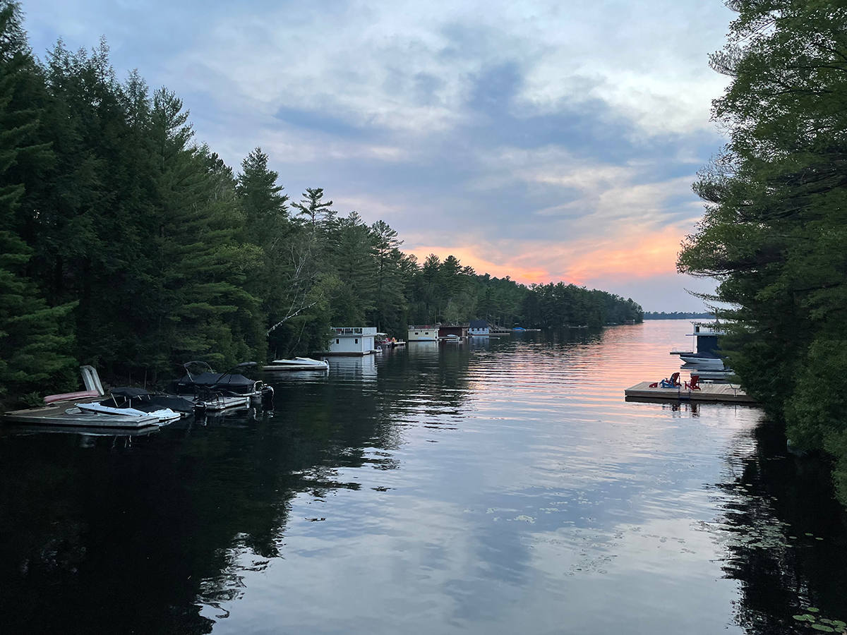
But the great lakes are not the only justification for Ontario’s having such an aqueous name. Ontario also has a shore on the Arctic Ocean – specifically the Hudson Bay and James Bay extensions of it – and within its interior it has another quarter of a million lakes. Yes, that’s right, over 250,000 lakes of various sizes. Fully one seventh of Ontario’s area is water. Most of Ontario is impossible to cross without crossing water quite often, and passing by water even more often. Ontarians seem OK with this – going to lakes is a popular pastime.
And, for that matter, Ontario is nearly impossible to enter from the USA without crossing water; of the more than 2700 km of border between Ontario and the US, only about one kilometre is land, and that’s all up in the wilds at the northern edge of Minnesota. To get between Ontario and the US in a motor vehicle, you have to cross one of 14 bridges – or one tunnel.
But, all that Ontari-eau notwithstanding, Ontario has quite a diverse geography; just watch any tourism video, from the famous “Yours to Discover” of 1980 (https://www.youtube.com/watch?v=0Iv7QHcOED0) to more recent ones (e.g., https://www.youtube.com/watch?v=SHy0BeOLzaE). In southwestern Ontario – the spear’s head bounded by Lakes Ontario, Erie, and Huron (including Georgian Bay) – there’s a huge amount of agriculture, including the most farms of any province (more than even Alberta), as well as 150 wineries, several of which are excellent and widely respected, and an ever-changing large number of craft breweries as well.
Ontario has cities, and lots of them, including Toronto, North America’s fourth-most-populous city and seventh-most-populous metropolitan area, and Ottawa, the capital of Canada. Most of the people in Ontario live in the southern part – Ontario has nearly 40% of Canada’s population, and almost 95% of those live in southern Ontario, which, however, is only about 10% of the total area of the province.
All of southern Ontario is well south of the 49th parallel, and the southernmost part of Ontario is farther south than the northern border of California. Toronto is on the same latitude as Marseille, France; Florence, Italy; Sarajevo, Bosnia and Herzegovina; Sochi, Russia; and Sapporo, Japan. But of course it’s still part of the “true North, strong and free.”
And anyway, Ontario has plenty of northern On-territory in its massive Ont-area. Ontario is about 60% larger than Texas and almost three-quarters the size of Alaska, and most of that turf is rocks, trees, peatland, and, yes, all those lakes – and not so many people. If you drive from Windsor to Kenora by highways 401, 400, and the Trans-Canada, it’s more than 2000 kilometres and almost 24 hours of pure driving – and I’ve driven it all (though not all in one trip).
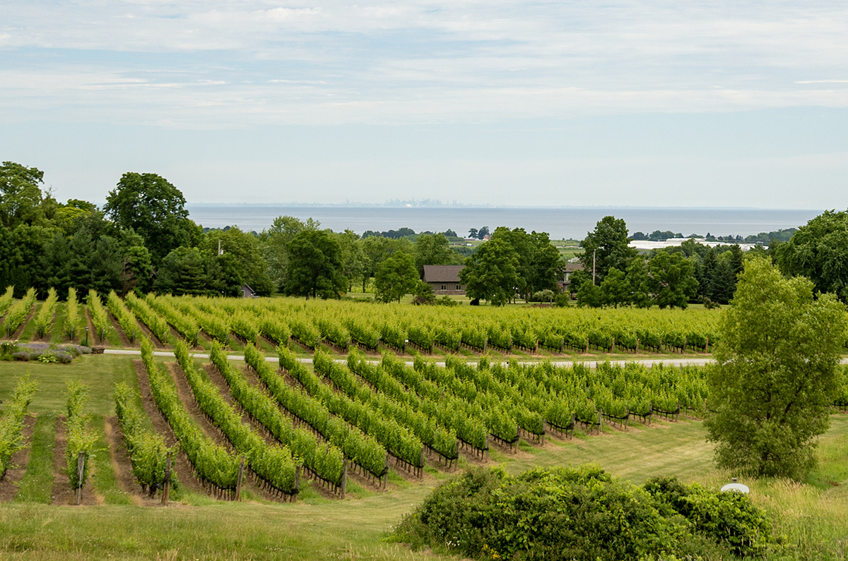
But I rarely see most of it, except when flying over. I live in downtown Toronto. But there’s still so much to see and do within an easy day trip – for instance, I can take a train down to the Niagara wine region, where I can have a lovely glass of Cabernet Franc by a lovely vineyard, and I can look north across Lake Ontario at my home in the distance, full circle O–o, still in Ontario.